References
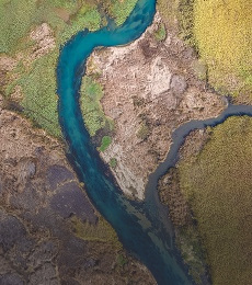
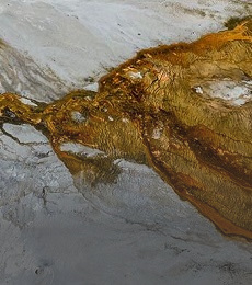
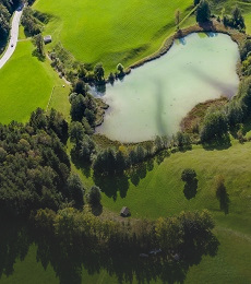
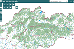
Customers of different specializations use our professional services for map visualizations, spatial analyses and geographic information systems.
Customers of different specializations use our professional services for map visualizations, spatial analyses and geographic information systems.

The basic objective of the project is to identify the so-called Natural and Landscape Capital as an aggregate of natural and socio-economic resources and potentials, while it is necessary to further define these according to their suitability for human use and the limits to such use.
The aim of the project was to produce basic information for landscape-ecological planning, including the production of USES documents based on the services and data of the European COPERNICUS programme for monitoring of the environment and security.
The subject of the project was the development of a universal procedure and supporting tools for the purpose of elaboration of MUSES.
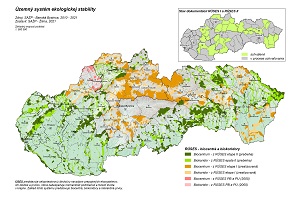
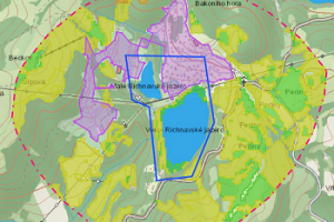
The aim of the project was to elaborate individual nature and landscape protection documentation (RÚSES) in accordance with Act No. 543/2002 Coll. on nature and landscape protection as amended for 42 selected districts.
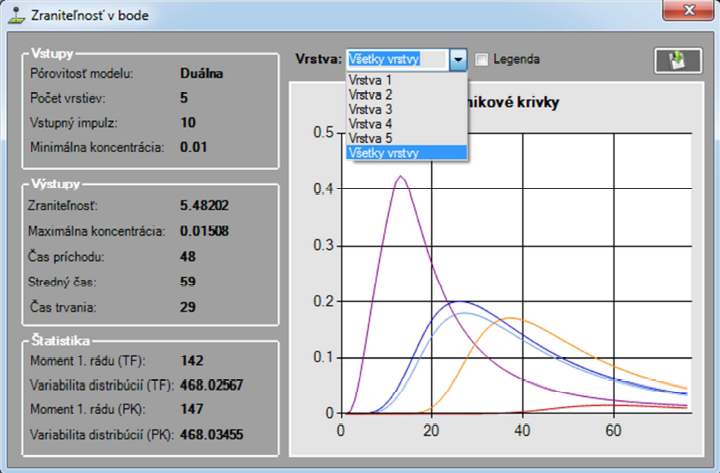
The aim of the project was to assess the risks of groundwater quality in the BSK with the development of proposals for protective measures for their sustainable use. Within the framework of the project, the research team of ESPRIT spol. s r.o. carried out the following sub-tasks under the direction of the responsible investigator in the form of an external study: analysis and modification of the algorithm of the one-dimensional advection-dispersion transport model with dual porosity published in (F. Cornaton & P. Perrochet, 2001) and its implementation in the modelling software. Creating and populating a geospatial database with relevant spatial data necessary for the operation of the modelling software components. Creation of outputs and their integration in the internet environment - calibration of the model and creation of a groundwater vulnerability map. Geographical spatial analysis of risks resulting from the degree of groundwater vulnerability and existing contamination load in the territory of BSK. Uploading the outputs to the geographical database and the web portal.
Within the framework of the project, the nature and landscape protection documentation (RÚSES) was comprehensively processed in accordance with Act No. 543/2002 Coll. on nature and landscape protection as amended for individual districts - Spišská Nová Ves, Žiar nad Hronom, Turčianske Teplice, Svidník, Ružomberok, Poprad, Tvrdošín.

The aim of the project was to modernize and supplement the technical infrastructure of the Institute of Landscape Ecology of the Slovak Academy of Sciences - branch in Nitra for research in the field of landscape ecology, landscape ecological planning, landscape management and long-term ecological research of ecosystems. The project has two main themes: 1) building and modernisation of local supporting infrastructure for research and development in the field of information technologies based on GIS technologies to support research activities in the field of landscape ecology, through server and mobile application GIS equipment and a comprehensive information system for the purposes of ecological planning and landscape management; 2) building and modernisation of infrastructure for ecosystem research. 1) Creation of a system, consisting of technical infrastructure, standard and specialised software and spatial database, enabling a new quality of landscape ecological research for the needs of landscape ecological planning and landscape management; 2) Supplementation of the instrumentation of the department to support and expand the possibilities of ecosystem research with a focus on mountain meadow and forest ecosystems, including the impact of global change.
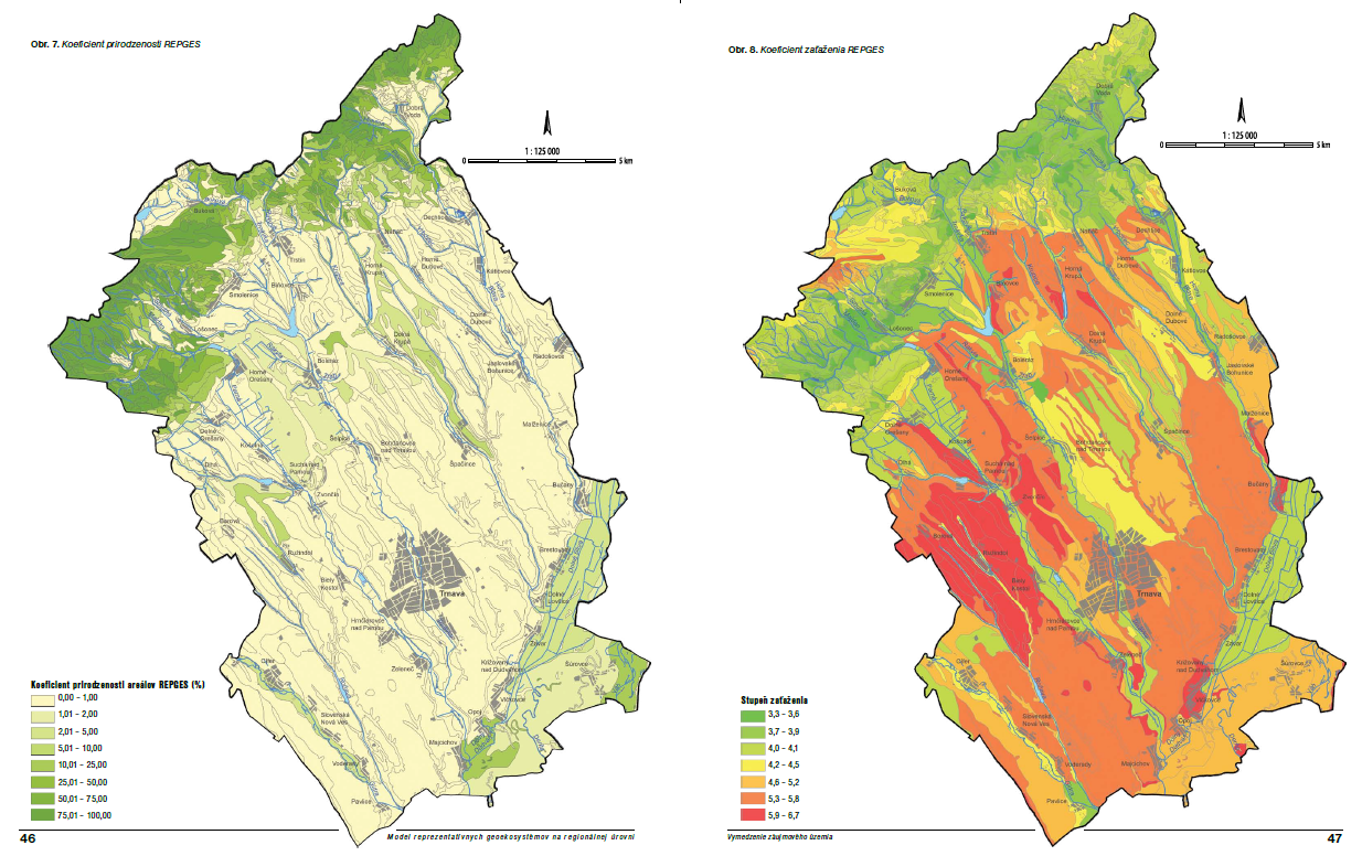
The aim of the project was to develop a methodological approach for the creation and assessment of representative geoecosystems at the regional level in order to develop an effective biodiversity conservation strategy. The sub-objectives can be considered as:
• Development of a methodological procedure for the delineation of REPGES at regional level
• Establishment of criteria for the assessment of REPGES (current state of their use, conservation and threats) and their application at the level of individual regions of the Slovak Republic
• Establishing a biodiversity conservation strategy based on the protection of REPGES

The aim of the geological task project was to create multifunctional usable geological and hydrogeological bases of the primary landscape structure for optimal nature protection and rational landscape management (landscape-ecological planning) for the whole territory of Slovakia and to create unified regional characteristics of morphological and geological zonation of the territory, processing of data on groundwater levels and resources, their natural and legislative protection.

The output of the project was the Catalogue of landscape-ecological objects as a basic methodological and integration tool for building spatial databases. For the purposes of cataloguing, the data bases and data needs of all components of the Department of Environment were analysed. These were then multi-criteria assessed and subsequently catalogued according to currently valid methodological and legislative documents.
Within the framework of the project, erosion and accelerated surface runoff hazards were modelled for the whole of Slovakia on the basis of detailed databases characterising individual geosystem elements, with output into cartographically expressed proposals for measures to improve the retention capacity of the territory and proposals for anti-erosion measures in individual sub-basins. The outputs are part of the documents Water Plan of the Slovak Republic, Preliminary Flood Risk Assessment.
- Geochemical Atlas of Slovakia: natural radioactivity of rocks
- Geochemical Atlas of Slovakia: forest biomass
- Geochemical Atlas of Slovakia: Groundwater
- Geothermal Atlas of Slovakia 1994 - 1999 Map of water protection - set of maps of Slovakia at a scale of 1:50000