References
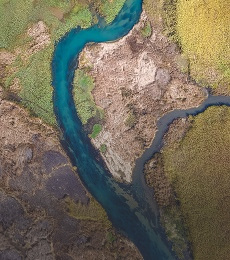
Customers of different specializations use our professional services for map visualizations, spatial analyses and geographic information systems.
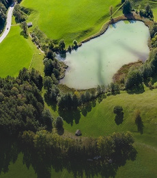
Customers of different specializations use our professional services for map visualizations, spatial analyses and geographic information systems.

The aim of the project was to create a set of technical means, tools, data and measures that will contribute to a more efficient decision-making process and crisis management communication, and enable monitoring, evaluation and management of emergencies and crisis situations .