References
Customers of different specializations use our professional services for map visualizations, spatial analyses and geographic information systems.
Customers of different specializations use our professional services for map visualizations, spatial analyses and geographic information systems.

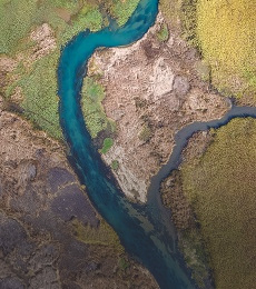
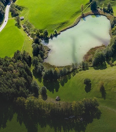
The aim of the project is to identify critical places in the cultural landscape, where human activities prevail over natural ones, which are most vulnerable to flash floods. In doing so, we recognise the ecological and economic risk and, of course, the potential threat to human life and health.
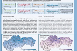
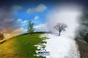
The main objective of the project was to create a comprehensive cartographic work Climate Atlas of the Slovak Republic in printed form and in the form of a WEB GIS application.
The subject of the project were the following activities: - Design and implementation of GIS server environment
- Design of the structure and implementation of the geodatabase
- Cartographization and publication of mapping services for air quality management and for the Climatological and Meteorological Information System
- Development of geoprocessing tools and their publication through standardised services for use in web applications.
- Design and implementation of standard WEB-GIS functionalities
- Design and implementation of specialised GIS functionalities for air quality management via web applications
- Design and implementation of specialised WEB-GIS functionalities for the Climatological and Meteorological Information System